St. Johns River Flood and the SR 46 Closure: Test Every Promise on the River Roads
With State Road 46 closed until further notice, residents along the St. Johns River should have a public record of what the gauges showed, how the state responded and where the flood money went.
4 minute read
OPINION — From the Porch
If you live on one of the roads along the St. Johns River, the Weather Service’s table tells you when you may need a boat or a high-terrain vehicle to get home. At 10.5 feet on the gauge above Lake Harney, water covers many secondary roads near the river and begins to encroach on State Road 46 near Jungle Road and Prevatt Road. The river passed that mark on Thursday. That night, the Florida Department of Transportation closed SR 46 at the river until further notice. By early Friday, the gauge read 10.74 feet. The forecast calls for 13 feet on Sunday, a new record at that gauge. In a day, a number in a table became a closed road.
I used to work in public works. I would have wanted the state to make that call just as it did, on published evidence and before the water forced it. Now the school run, the grocery trip and the drive to work have changed for people in Geneva, on the Sanford side and across the river who earn a living in Brevard. Eastbound drivers take SR 415 north, SR 44 east and Interstate 95 south, returning to 46 at Exit 223. Westbound drivers take the route in reverse. The Citizen’s news coverage of the record flood, gauge by gauge, is here.
What the river is doing, street by street
Near Cocoa, the river stood at 18.6 feet early Friday, a foot above the record of 17.6 feet set in 1953. The Weather Service says water enters homes in the Lake Poinsett area west of Cocoa and low-lying homes in Rockledge’s Silver Pines subdivision at 17.2 feet. At Sanford, the river is forecast to reach 6.3 feet by Monday evening. At 6.2 feet, the impact table says, water completely surrounds many homes in the Stone Island and Still Brook subdivisions and covers many roads. Moderate flooding is already occurring at Astor, where the forecast is 3.7 feet by early Monday. At 3.5 feet, homes on or near Wildhog, Bonnet and Snail roads become inaccessible. The Weather Service published those thresholds in advance. Residents can check them against the readings as the river rises.
Clarence Howard, in his column today, asks two questions — who pays, and what did we promise them — and wants the flood spending published line by line. G. L. Dyer, in his column today, wants the approval record published alongside the spending, showing what was built in these reaches of the river and under what stormwater conditions. I share their instinct to put the evidence in print. I would start with a record of this flood that everyone can consult before we debate how the next flood fund ought to work.
One small, checkable ask
Publish a river ledger on one page. The counties and the state should keep it current during the flood and after it ends. Put each gauge’s forecast beside its actual readings. Record the SR 46 closure and its reopening, when it comes, alongside the impact level that prompted the closure. Include the detour counts if they are being taken. List every dollar spent on the flood under the state emergency, Executive Order 26-232, which covers 21 counties by the Citizen’s count. List the spending by place so people in Geneva and Sanford can find their own communities on the page. A resident should be able to pull it up on a phone at the kitchen table and check it next week and during the next flood.
All week, the river reports have given readings to the tenth of a foot on a stated schedule, with the time of the next statement printed at the bottom. The governments along the river should give residents a record they can check as readily before asking them to trust another promise, pay another fee or accept another plan. Start on the river roads, with what was forecast, what happened and what the response cost. Then, with the counts in front of us, we can argue about what to build.
Read the other sides of today’s crossover: Clarence Howard in The Howard Ledger and G. L. Dyer in Fair Share, gathered on the Opinion hub.
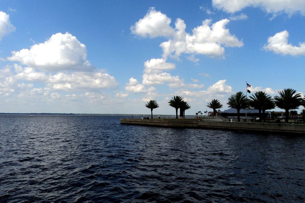
Photo: Lake Monroe at Sanford, on the St. Johns River in Seminole County. Photo: Gabriel Vanslette, CC BY, via Wikimedia Commons (file photograph).
Sources & notes
National Weather Service, Melbourne office, as reported in the Citizen’s news coverage of Nov. 19, 2026 and the Citizen’s SEO brief of Nov. 20, 2026: Above Lake Harney — 10.74 ft at 4:30 a.m. Fri Nov. 20, major flood stage reached Nov. 19, forecast record 13 ft Sun Nov. 22, 10.5-ft impacts (secondary roads covered, homes reachable only by boat or high-terrain vehicle, SR 46 encroached near Jungle Road and Prevatt Road); near Cocoa — 18.6 ft early Fri, previous record 17.6 ft (1953), 17.2-ft impacts (Lake Poinsett area, Silver Pines subdivision, Providence Road); Sanford — forecast 6.3 ft by Monday evening, 6.2-ft impacts (Stone Island and Still Brook subdivisions); Astor — moderate flooding occurring, forecast 3.7 ft by early Monday, 3.5-ft impacts (Wildhog, Bonnet and Snail roads; Astor Bridge marina docks). Florida Department of Transportation: SR 46 closed at the St. Johns River Thu night Nov. 19, until further notice, detour via SR 415 / SR 44 / I-95 (Exits 223 and 249), as reported by Florida Today, Nov. 19–20, 2026. Florida Executive Order 26-232 (21 counties), Citizen coverage, Nov. 18, 2026.
Orlando Citizen by email
The weekly edition, in your inbox
One email, every Saturday: the week’s edition of Orlando Citizen — the week’s stories, rankings and winners, gathered in one place. Free, and you can unsubscribe at any time.
Related Stories
 OpinionDisney World Maintenance Contract Vote in Orlando: Test the Next Offer on International Drive and at HomeOpinionDisney World Maintenance Contract Vote in Orlando: Publish the Wage Ledger Before the Next OfferOpinionDisney World Maintenance Workers Reject Contract 735 to 231 in Orlando: Wages Must Catch the Cost of Living
Editor’s Picks
Spotted an error? Tell us — corrections · How we rank