St. Johns River Record Flood at Sanford and Geneva: The Ledger Before the Next Crest
After the St. Johns River near Cocoa reached 18.6 feet early Friday, a foot above its 1953 record, residents should be able to see who pays for the flood and where the money goes.
4 minute read
OPINION — The Howard Ledger
For a household in the Lake Poinsett area, 17.2 feet is the level at which the National Weather Service says water enters homes. At 2:15 a.m. on Friday, the St. Johns River near Cocoa stood at 18.6 feet. Flood stage there is 16 feet. The previous record, 17.6 feet, was set in 1953 and stood for 73 years. By that early Friday reading, the river had exceeded it by a foot. The Weather Service forecast a crest of 18.7 feet. By about 10 a.m. on Friday, the gauge was already there.
Above Lake Harney, on Seminole County’s eastern edge, the river reached major flood stage on Thursday and stood at 10.74 feet early on Friday. The forecast now calls for 13 feet on Sunday, a new record at that gauge. That is two and a half feet above the level at which the Weather Service’s impact table says water begins to encroach on State Road 46 near Jungle Road and Prevatt Road. The Florida Department of Transportation closed SR 46 at the river on Thursday night, until further notice. It gave no estimate for reopening. The Citizen’s news coverage of the river’s record week is here.
Two questions, asked while the water is up
I ask the same two questions about every spending proposal. Who pays? What did we promise them? Both questions become more urgent in a flood, when money can move faster than the public can account for it. The state is already operating under a flood emergency under Executive Order 26-232. As the Citizen reported this week, the emergency had grown to cover 21 counties. Emergency powers are designed to move money quickly. That speed is also what makes the spending harder to follow.
I would start with the immediate bill. Pay for the closed road, the detour and the homes the Weather Service names in its impact tables, and show the public each expense. Before spending a dollar on the longer work, identify what the public is being asked to pay for. If a subdivision was approved where the impact table now says water covers the roads, growth failed to pay its own way. Charge that growth an impact fee and a stormwater charge. Keep the money in other dedicated funds available for the purposes residents were promised, and consider any new tax in the open.
In his column today, G. L. Dyer argues that families along the river did not choose the decisions that put water at their doors. He is right. A family in the Lake Poinsett area had no say in how much rain fell. A driver turned around at SR 46 had no say in how the detour was routed through SR 415, SR 44 and Interstate 95. Daniel and I part company over whose money pays for the work and how plainly we say so. Spending dedicated funds on an emergency breaks a promise to the people who paid into them. A county that breaks that promise forfeits its right to ask those people for another tax.
What I am not arguing
The department was right to close the road. The impact table said the road would go under, and the department acted before the water could force the closure. The river will rise on its own terms. The forecast tells residents what to expect, and a bill tells them what they are being asked to pay. Margaret Shepherd, in her column today, asks that the forecasts, the closure and the spending be printed where residents can check them. She is right. Of everything proposed here, that costs the least.
Publish the flood ledger as the money is spent, with every emergency dollar listed by place and purpose. An audit two winters from now comes too late for residents to follow those decisions as they are made. Give any flood fund that follows a stated purpose and an expiration date, as a dedicated tax should have. When the commissions take up the longer work, put a figure on the share of the cost that growth created, show it to the public and charge that share to growth.
This week, anyone following the river could see its level to the tenth of a foot on a published schedule. Residents should be able to follow what their governments spend on the flood with the same regularity and precision.
Read the other sides of today’s crossover: G. L. Dyer in Fair Share and Margaret Shepherd in From the Porch, and the desk’s columns are gathered on the Opinion hub.
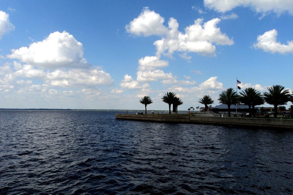
Photo: Lake Monroe at Sanford, on the St. Johns River in Seminole County. Photo: Gabriel Vanslette, CC BY, via Wikimedia Commons (file photograph).
Sources & notes
National Weather Service, Melbourne office, as reported in the Citizen’s news coverage of Nov. 19, 2026 and the Citizen’s SEO brief of Nov. 20, 2026: Flood Warning for the St. Johns River near Cocoa (gauge 17.7 ft at 3:15 a.m. Thu Nov. 19, flood stage 16.0 ft; 18.0 ft at 5:15 a.m. Thu; Fri 3:10 a.m. warning recording 18.6 ft at 2:15 a.m. Fri, previous record 17.6 ft in 1953, forecast crest 18.7 ft); Flood Statement for Above Lake Harney (9.4 ft Thu; major flood stage reached Nov. 19; 10.74 ft at 4:30 a.m. Fri; forecast record 13 ft Sun Nov. 22; 10.5-ft impacts incl. SR 46 near Jungle Road and Prevatt Road); 17.2-ft impacts near Cocoa (Lake Poinsett area, Silver Pines subdivision, Providence Road). Florida Department of Transportation closure of State Road 46 at the St. Johns River, Thu night Nov. 19, until further notice, with the SR 415 / SR 44 / I-95 detour, as reported by Florida Today, Nov. 19–20, 2026, and the Citizen’s SEO brief. Florida Executive Order 26-232 flood emergency (21 counties), Citizen coverage, Nov. 18, 2026. The “two and a half feet” figure is arithmetic on the Weather Service’s 10.5-ft impact level and the 13-ft forecast crest.
Orlando Citizen by email
The weekly edition, in your inbox
One email, every Saturday: the week’s edition of Orlando Citizen — the week’s stories, rankings and winners, gathered in one place. Free, and you can unsubscribe at any time.
Related Stories
 OpinionDisney World Maintenance Contract Vote in Orlando: Test the Next Offer on International Drive and at HomeOpinionDisney World Maintenance Contract Vote in Orlando: Publish the Wage Ledger Before the Next OfferOpinionDisney World Maintenance Workers Reject Contract 735 to 231 in Orlando: Wages Must Catch the Cost of Living
Editor’s Picks
Spotted an error? Tell us — corrections · How we rank