Orlando Weather — Live Forecast, Radar, Hurricane Tracker & Sea Conditions
Orlando weather, live and in full. This page is the Citizen’s weather room: current conditions, the hour-by-hour forecast, the seven-day outlook, live radar, the hurricane tracker and the state of the sea off the Space Coast — all of it drawn straight from the National Weather Service, the National Hurricane Center and NOAA’s buoys and tide stations, and refreshed through the day. When the Weather Service issues a warning for Orlando, the Four Corners or the St. Johns River, it leads this page.
Flood WatchNWS Melbourne FL
Flood Watch issued November 16 at 3:18PM EST until November 20 at 7:00PM EST by NWS Melbourne FL
Inland Volusia; Orange; Seminole; Osceola; Okeechobee; Coastal Volusia; Coastal Indian River; Coastal St. Lucie; Coastal Martin; Inland Northern Brevard; Inland Indian River; Inland St. Lucie; Inland Martin; Mainland Northern Brevard; Northern Brevard Barrier Islands; Inland Southern Brevard; Mainland Southern Brevard; Southern Brevard Barrier Islands
In effect until Friday, November 20, 7:00 PM
Full text from the National Weather Service
* WHAT...Flooding caused by excessive rainfall is possible.
* WHERE...Most of east central Florida, including Volusia, Seminole,
Orange, Osceola, Okeechobee, Brevard, Indian River, Saint Lucie,
and Martin counties.
* WHEN...From Tuesday afternoon through Friday evening.
* IMPACTS...Excessive runoff may result in flooding of rivers,
creeks, streams, and other low-lying and flood-prone locations.
* ADDITIONAL DETAILS...
- Repeated rounds of showers and isolated storms are forecast
through Friday. Rainfall amounts of 3 to 6 inches are forecast
with localized higher amounts of 8 to 12 inches. The greatest
potential for these higher amounts will be over the coastal
counties.
- http://www.weather.gov/safety/flood
What to do: You should monitor later forecasts and be alert for possible Flood
Warnings. Those living in areas prone to flooding should be prepared
to take action should flooding develop.
Flood WarningNWS Melbourne FL
Flood Warning issued November 18 at 3:13PM EST by NWS Melbourne FL
Lake, FL; Volusia, FL
In effect until Thursday, November 19, 3:15 AM
Full text from the National Weather Service
...The Flood Warning continues for the following rivers in Florida...
St Johns River Near Astor affecting Lake and Volusia Counties.
.On the St Johns River at Astor, the river is forecast to continue
rising, reaching Moderate flood stage tonight due to strong onshore
flow causing a surge up the river as well as additional heavy
rainfall expected in the Astor area.
For the St. Johns River...including Astor...Minor flooding is
occurring and moderate flooding is forecast.
* WHAT...Minor flooding is occurring and moderate flooding is
forecast.
* WHERE...St Johns River near Astor.
* WHEN...Until further notice.
* IMPACTS...At 3.5 feet, Canals have overflowed into yards. Homes on
or near Wildhog & Bonnet roads become inaccessible with several
inches of water inside homes along the river and canals. Docks at
Astor Bridge marina and throughout Astor are completely submerged.
Bartram Rd and Holiday Circle are inaccessible with yards
completely submerged. Clair Street is inaccessible. Roads flooded
in South Moon Fish Camp, docks and yards at condominiums on Juno
Trail and water breaches the sea wall at Blair's Jungle Den.
* ADDITIONAL DETAILS...
- At 2:30 PM EST Wednesday the stage was 2.9 feet.
- Bankfull stage is 2.0 feet.
- Recent Activity...The maximum river stage in the 24 hours ending
at 2:30 PM EST Wednesday was 2.9 feet.
- Forecast...The river is expected to rise to 3.6 feet Sunday
evening. Additional rises are possible thereafter.
- Flood stage is 2.3 feet.
- http://www.weather.gov/safety/flood
What to do: Motorists should not attempt to drive around barricades or drive cars
through flooded areas.
Caution is urged when walking near riverbanks.
Additional information is available at www.weather.gov.
The next statement will be issued late tonight at 315 AM EST.
Orlando, Florida Observed at Orlando Executive Airport · Forecast for the Orlando International area
Light Rain and Fog/Mist
H:71° L:68°Observed 4:20 PM ET
Source: National Weather Service (api.weather.gov), Orlando International area · Updated 4:36 PM ET · Sunrise/sunset computed for Orlando International Airport
Hour by hour — the next 24 hours
Scroll for the full 24 hours →
Source: National Weather Service hourly forecast, Orlando · Updated 4:36 PM ET
The next 24 hours in charts
Source: National Weather Service hourly forecast, Orlando · Updated 4:36 PM ET
Short term — today, tonight, tomorrow
This Afternoon — 71°F
Showers and thunderstorms. Mostly cloudy, with a high near 71. East northeast wind around 15 mph, with gusts as high as 35 mph. Chance of precipitation is 90%. New rainfall amounts between a quarter and half of an inch possible.
Tonight — 68°F
Showers and thunderstorms. Mostly cloudy, with a low around 68. East northeast wind 10 to 15 mph, with gusts as high as 30 mph. Chance of precipitation is 90%. New rainfall amounts between three quarters and one inch possible.
Thursday — 75°F
Showers and thunderstorms before 3pm, then a chance of showers and thunderstorms between 3pm and 4pm, then a chance of showers and thunderstorms between 4pm and 5pm, then a slight chance of showers and thunderstorms. Mostly cloudy, with a high near 75. East northeast wind 10 to 15 mph, with gusts as high as 35 mph. Chance of precipitation is 90%. New rainfall amounts between three quarters and one inch possible.
Source: National Weather Service, Melbourne office forecast · Updated 4:36 PM ET
Long term — the 7-day outlook
Bars show each day’s low-to-high range on the week’s scale. The Weather Service issues a 7-day forecast — that is the full official outlook.
Source: National Weather Service 7-day forecast, Orlando · Updated 4:36 PM ET
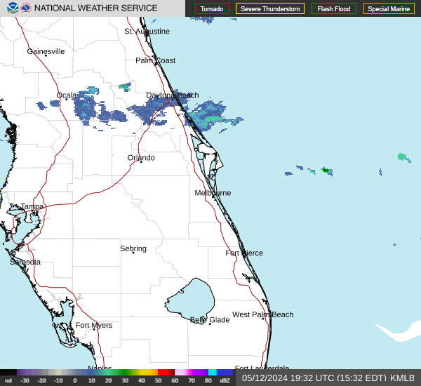
Live radar — Central Florida
Source: National Weather Service radar (radar.weather.gov), KMLB Melbourne · imagery refreshes about every 5 minutes at the source
Hurricane tracker — Atlantic basin
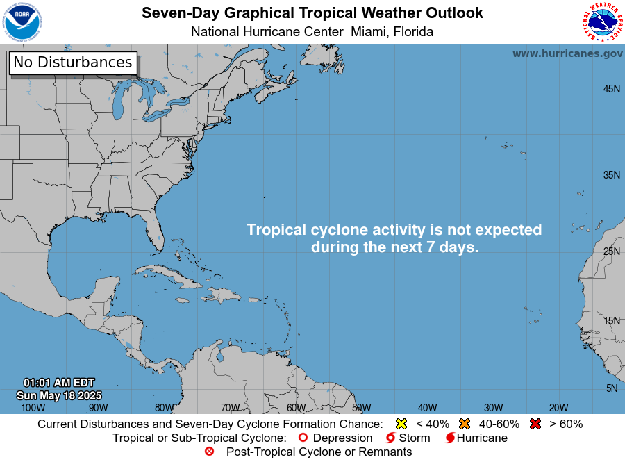
No active tropical cyclones in the Atlantic basin right now. The National Hurricane Center is not tracking any named storm, hurricane or tropical depression at this update. Hurricane season runs June 1 to November 30.
Atlantic tropical outlook
Tropical Weather OutlookNWS National Hurricane Center Miami FL100 PM EST Wed Nov 18 2026For the North Atlantic...Caribbean Sea and the Gulf of America:Off the Southeast U.S. Coast:A non-tropical low pressure system is expected to form near the northern Bahamas by late Friday. This system could become a subtropical or tropical storm while it moves northward or northeastward near or offshore of the southeastern U.S. coast through the weekend. Regardless of development, strong winds, dangerous surf, and coastal flooding are likely along portions of the southeast and mid-Atlantic coasts into early next week. Interests along the eastern U.S. coast should monitor the progress of this system.* Formation chance through 48 hours...low...near 0 percent.* Formation chance through 7 days...medium...40 percent.$$Forecaster Pasch/Katz
Source: National Hurricane Center (nhc.noaa.gov) · Updated 4:36 PM ET
Wave & sea conditions — the Space Coast
Canaveral East — Buoy 41009 (20 NM east of Cape Canaveral)
13.5 ft waves
- Dominant period10 s
- Average period7.1 s
- WindENE 29 mph, gusting 38 mph
- Air temp73°F
Buoy observation 2026-11-18 21:10 UTC
Canaveral East — Buoy 41010 (120 NM east)
14.4 ft waves
- Dominant period9 s
- Average period7.0 s
- WindE 31 mph, gusting 36 mph
- Water temp80°F
- Air temp75°F
Buoy observation 2026-11-18 21:10 UTC
Tides — Port Canaveral (Trident Pier)
At the pier now: wind E 10 knots, gusting 14 knots · 4:30 PM
Planning a beach day? The closest surf to Orlando is Cocoa Beach and Port Canaveral, about an hour east. Check the radar and the hourly forecast above before you go — summer storms build fast over the coast.
Sources: NOAA National Data Buoy Center (ndbc.noaa.gov) & NOAA Tides & Currents, station 8721604 · Updated 4:36 PM ET
From the Citizen weather desk
- Orlando Weather Today, Wednesday: Flood Warnings Now Cover Sanford and DeLand, Harney Forecast to Reach Major Flooding November 18, 2026
- Orlando Weather Today, Wednesday: Flood Watch Through Friday, Harney Back in Moderate Flooding at 9.0 Feet November 18, 2026
- Orlando Weather Tonight, Tuesday: Flood Watch in Effect Through Friday, Flood Warnings Hold on the St. Johns River November 17, 2026
- Orlando Weather Today, Tuesday: Flood Watch This Afternoon, Astor Forecast to Rise to 3.4 Feet by Sunday November 17, 2026
The Citizen’s weather desk reports Orlando weather three times a day — morning, midday and evening — and leads with warnings whenever the Weather Service issues them. All weather coverage →
Orlando Citizen weather reporting
Weather data on this page comes from public federal sources — the National Weather Service (Melbourne office), the National Hurricane Center, the National Data Buoy Center and NOAA Tides & Currents — and is shown with its source and update time on every panel. Forecasts are guidance, not guarantees; for life-safety decisions, follow the National Weather Service and local emergency management directly.