Orlando Weather Today, Friday: Flood Watch Through 7 P.M., Harney in Major Flooding at 10.3 Feet
Orlando faces showers and thunderstorms Friday, with a high near 75 and a Flood Watch through 7 p.m., as the St. Johns River above Lake Harney, already in major flooding, is forecast to rise above its record this weekend.
10 minute read
STORM MODE — Orlando Citizen Weather desk, Friday morning forecast, checked against National Weather Service Melbourne products at 6:00 a.m. EST.
For families near Jungle Road and Prevatt Road, a few more inches on the St. Johns River could put water over State Road 46. At 10.8 feet, the National Weather Service says, the road may become impassable there. By Thursday evening, the river above Lake Harney, near Geneva, had reached 10.3 feet, already in major flooding. It was forecast to crest at 13.0 feet this weekend, above the all-time flood of record at that point. In Orlando, rain was still falling Friday under a Flood Watch through 7:00 p.m. To the north and east, the river will keep rising after the rain stops.
The morning facts, all from NWS Melbourne:
- The Flood Watch remains in effect through 7:00 p.m. Friday for Orange, Seminole and Osceola counties. Lake County remains outside the watch. Issued Monday afternoon, the watch calls for 3 to 6 inches of rain, with localized amounts of 8 to 12 inches and the greatest potential over the coastal counties.
- Flood Warning — southeastern Orange County. The warning is in effect until 6:00 a.m. Friday for flooding caused by excessive rainfall. On Thursday evening, Florida 5-1-1 reported flooding along FL-520 near its intersection with FL-528 (the Beachline).
- Above Lake Harney near Geneva (Seminole): The river was at 10.3 feet at 7:30 p.m. Thursday. Major flooding is occurring and is forecast to continue, with a crest of 13.0 feet this weekend, above the all-time flood of record.
- Astor (Lake/Volusia): The river rose from 3.4 feet Thursday evening to 3.6 feet at 4:30 a.m. Friday. Moderate flooding is occurring, and major flooding is forecast as the river rises to 4.0 feet Tuesday.
- Sanford (Seminole): The river was at 6.2 feet at 7:30 p.m. Thursday. Minor flooding is occurring, and moderate flooding is forecast as the river rises to 7.7 feet early next week.
- DeLand (Lake/Volusia): The river was at 4.5 feet at 7:30 p.m. Thursday. Minor flooding is occurring, and major flooding is forecast as the river rises to 5.7 feet early next week.
- Little Wekiva River near Altamonte Springs (Seminole): A Flood Warning is now in effect from Friday morning to Friday evening, with minor flooding forecast. The river was at 27.1 feet at 10:30 p.m. Thursday. It is forecast to crest at 28.7 feet late Friday morning into Friday afternoon and fall below flood stage Friday evening.
- Orlando today: Showers and thunderstorms are forecast, with a high near 75, a 90% chance of precipitation and 1 to 2 inches of new rain possible. Northeast winds will be around 15 mph, with gusts as high as 25 mph.
The river at Harney: major flooding, and a record in the forecast
The St. Johns River above Lake Harney near Geneva entered major flood stage Thursday afternoon at 10.1 feet. By 7:30 p.m., it had reached 10.3 feet, the Weather Service reported in its 8:37 p.m. Thursday statement (Flood Statement, WGUS82 KMLB 200137, FL.W.0007). The Flood Warning remains in effect until further notice, with major flooding occurring and forecast. Flood stage is 8.0 feet, and bankfull stage is 6.0 feet. The forecast crest of 13.0 feet this weekend would exceed the all-time flood of record. At 10.8 feet, water covers State Road 46, and the road may become impassable near Jungle Road and Prevatt Road. Standing water on some secondary roads near the river deepens to more than three feet, and flooding becomes more significant at structures and marinas from above Lake Harney to the Lake Jesup area. The Weather Service urges motorists to avoid driving around barricades or through flooded areas and advises caution when walking near riverbanks. The next statement is due Friday at 11:00 a.m.
Astor at 3.6 feet, and rising toward major flooding
At Astor, heavy rain working its way through the basin and strong north-northeast flow are pushing the St. Johns higher, the Weather Service said in its only new river statement Friday morning. The 5:21 a.m. Flood Statement (WGUS82 KMLB 201021, FL.W.0003) reported moderate flooding near Astor, in Lake and Volusia counties, and forecast major flooding. The river reached 3.6 feet at 4:30 a.m. Friday, up from 3.4 feet at 7:30 p.m. Thursday. Flood stage is 2.3 feet, and bankfull stage is 2.0 feet. The forecast calls for the river to reach 4.0 feet Tuesday. At that level, water enters many structures on canals and along the river. River Road becomes inaccessible, and water reaches depths of 1 to 2 feet in numerous homes on Wildhog, Possum, Bonnet and Snail roads. Roads along Blue Creek are inaccessible, and water rescues will be necessary, the statement says. The next statement is due Friday at 11:00 a.m.
Sanford and DeLand: the Thursday-evening statements stand
The Thursday-evening statements remained in effect at the Friday morning check, with the next statements for Sanford and DeLand due Friday at 11:00 a.m. At Sanford, the river was at 6.2 feet at 7:30 p.m. Thursday, above the flood stage of 5.5 feet. The 8:40 p.m. Thursday Flood Statement (FL.W.0010) reported minor flooding and forecast moderate flooding, with the river expected to reach 7.7 feet early next week. At 7.4 feet, many secondary roads around Lake Monroe and in Enterprise flood and may become impassable. Water begins to reach more of Stone Island and approaches homes in River Oaks Estates. At DeLand, the river was at 4.5 feet at 7:30 p.m. Thursday, above the flood stage of 4.0 feet. The 8:45 p.m. Thursday Flood Statement (FL.W.0009) reported minor flooding and forecast major flooding, with the river expected to reach 5.7 feet early next week. At 5.3 feet, many structures and marinas along the river and in the Hontoon Island area experience major flooding. The Citizen covers the Lake Monroe shoreline community most directly in the warning’s path in its Sanford hub.
Little Wekiva: minor flooding forecast today at Altamonte Springs
Near Altamonte Springs, the Little Wekiva River stood at 27.1 feet at 10:30 p.m. Thursday, below its bankfull stage of 27.5 feet and flood stage of 28.5 feet. The Weather Service’s 11:40 p.m. Thursday Flood Statement (WGUS82 KMLB 200440, FL.W.0011) put a Flood Warning in effect from Friday morning to Friday evening. It forecasts minor flooding, with the river expected to cross flood stage Friday morning, crest at 28.7 feet late Friday morning into Friday afternoon and drop below flood stage Friday evening. At 28.5 feet, minor flooding occurs near the river in the Altamonte Springs area. Another 2 to 4 inches of heavy rain is possible through Friday, and the Weather Service says heavy rainfall could push the river higher. The next statement is due Friday at 12:15 p.m.
Southeast Orange County: the overnight warning at FL-520
In the Wedgefield and Christmas corridor, Florida 5-1-1 reported flooding Thursday evening along FL-520 near its intersection with FL-528. The Weather Service issued an areal Flood Warning for southeastern Orange County at 8:46 p.m. Thursday (WGUS42 KMLB 200146, FA.W.0012), reporting flooding caused by excessive rainfall and setting the warning to run until 6:00 a.m. Friday. Its guidance to drivers who encounter flooded roads is to turn around, don’t drown. It urges particular caution at night, when flood hazards are harder to see. For drivers in the corridor Friday morning, 6:00 a.m. marks the end of the stated warning window. The Weather Service has issued no separate all-clear.
Orlando weather today, Friday: rain, then a slow clearing
For Orlando residents heading to school or work or deciding whether to spend time in the yard, the Weather Service’s local forecast calls for showers and thunderstorms Friday. The gridpoint forecast from NWS Melbourne, generated at 5:22 a.m. Friday, puts the high near 75 and the chance of precipitation at 90%, with 1 to 2 inches of new rain possible. Northeast winds will be around 15 mph, with gusts as high as 25 mph. Friday night brings a 50% chance of showers and thunderstorms, with a low around 66 and a half to three quarters of an inch of rain possible. Saturday is expected to be partly sunny, with a high near 76 and a 40% chance of rain showers. Sunday and Monday are forecast to be mostly sunny with highs near 77. Tuesday’s high is near 77 with a 20% chance of showers, and Wednesday’s is near 76 with a 30% chance. Thanksgiving Day is forecast to be mostly sunny with a high near 70. In its 2:42 a.m. Friday discussion, the Weather Service kept a High Risk, level 4 of 4, for excessive rainfall Friday along the Space and Volusia coasts, with a Slight to Moderate risk across the interior. The discussion calls for another 2 to 4 inches through Saturday across nearly all areas north of Okeechobee County and the Treasure Coast, and 4 to 6 inches across the Volusia and Brevard coasts. In the wettest locations, it puts the chance of exceeding 6 to 8 inches or more at 1 in 10. Those figures cover the region through Saturday. Orlando’s local forecast calls for 1 to 2 inches Friday.
The offshore low: 50 percent through seven days
A broad area of low pressure has formed over southeastern Florida, the northwestern Bahamas and adjacent waters, the National Hurricane Center said in its 1:00 a.m. Friday Tropical Weather Outlook. The system is producing disorganized showers and thunderstorms from the central Florida peninsula east-southeastward over the Atlantic. It could acquire subtropical or tropical characteristics as it moves generally northward to north-northeastward near or just offshore of the southeastern United States coast through the weekend. The center puts the chance of formation at 30 percent, or low, through 48 hours and 50 percent, or medium, through seven days. Whether or not it develops, the center expects strong, gusty winds, dangerous surf, rip currents and coastal flooding along portions of the southeast and mid-Atlantic coasts into early next week. Heavy rain and the threat of flash flooding will continue across portions of the Florida peninsula Friday. No tropical watch or warning is in effect for any of this desk’s coverage counties.
What to watch today
The next readings on the rivers are due from the Weather Service at 11:00 a.m. Friday for Harney, Astor, Sanford and DeLand and at 12:15 p.m. for the Little Wekiva. The Citizen’s 13:00 Weather run will lead with those statements. The Flood Watch expires at 7:00 p.m. Friday, and the desk will report whether the Weather Service extends it, replaces it or lets it lapse. Two Thursday stories, the midday Flash Flood Warning update and the evening Harney major-flooding report, remain at the pipeline’s frontier-model style gate. The desk’s log records both as held and still awaiting publication. Outside this desk’s coverage counties, the same system has put central Brevard County under a Flood Warning until 8:30 a.m. Friday, with 1.5 to 2.5 inches of rain already fallen and 1 to 2 more possible. The coast is under a High Surf Advisory through Saturday at 7:00 p.m., and coastal Volusia and northern Brevard are under a Wind Advisory from 7:00 a.m. Friday to 7:00 a.m. Saturday. Those advisories and the Brevard warning are included here for regional context. Earlier coverage includes Thursday’s morning storm report, Wednesday evening’s Sanford and Harney update and the week’s planning companion, Orlando weather this week. More reporting from the desk is in the Weather archive and the beats index, with coverage of the river counties in the Sanford and Tavares hubs and the areas index.
Sources & notes
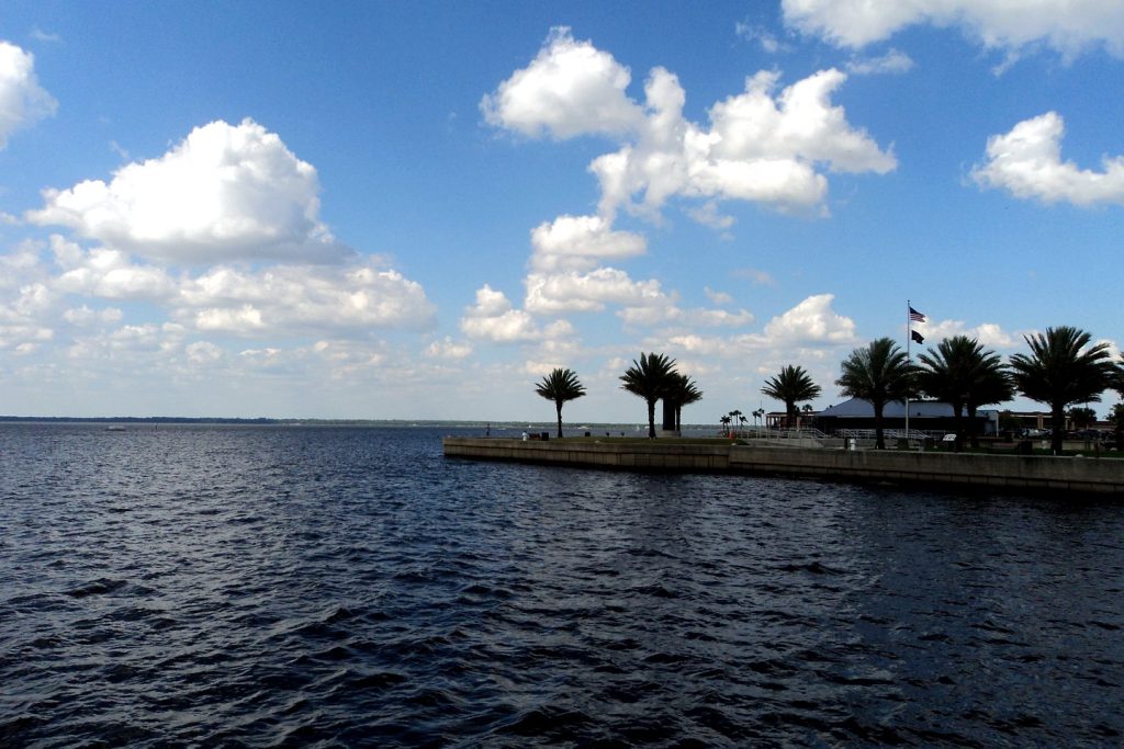
All forecast and warning facts are from the National Weather Service forecast office in Melbourne, checked Friday morning, November 20, 2026: Flood Watch FA.A.0004 (issued 3:18 p.m. EST Mon Nov 16, in effect through 7:00 p.m. Fri Nov 20); areal Flood Warning for southeastern Orange County, FA.W.0012 (WGUS42 KMLB 200146, 8:46 p.m. Thu); Flood Statement for the St. Johns River above Lake Harney near Geneva, FL.W.0007 (WGUS82 KMLB 200137, 8:37 p.m. Thu; stage 10.3 ft at 7:30 p.m. Thu); Flood Statement for the St. Johns River near Astor, FL.W.0003 (WGUS82 KMLB 201021, 5:21 a.m. Fri; stage 3.6 ft at 4:30 a.m. Fri); Flood Statement for the St. Johns River near Sanford, FL.W.0010 (WGUS82 KMLB 200140, 8:40 p.m. Thu; stage 6.2 ft at 7:30 p.m. Thu); Flood Statement for the St. Johns River near DeLand, FL.W.0009 (WGUS82 KMLB 200145, 8:45 p.m. Thu; stage 4.5 ft at 7:30 p.m. Thu); Flood Statement for the Little Wekiva River near Altamonte Springs, FL.W.0011 (WGUS82 KMLB 200440, 11:40 p.m. Thu; stage 27.1 ft at 10:30 p.m. Thu); Orlando gridpoint forecast, NWS Melbourne MLB 26,68, generated 5:22 a.m. EST Fri; Area Forecast Discussion FXUS62 KMLB 200742 (2:42 a.m. Fri); and the National Hurricane Center Tropical Weather Outlook ABNT20 KNHC 200548 (1:00 a.m. EST Fri). River stages, flood stages, impacts and guidance are reproduced as the statements issue them; flooding described as forecast is not reported as occurring. Featured image: the St. Johns River at Lake Monroe, Sanford — the desk’s treated file photograph (Gabriel Vanslette, CC BY via Wikimedia Commons), reused from this desk’s earlier storm coverage.
Orlando Citizen by email
The weekly edition, in your inbox
One email, every Saturday: the week’s edition of Orlando Citizen — the week’s stories, rankings and winners, gathered in one place. Free, and you can unsubscribe at any time.
Related Stories
Editor’s Picks
Spotted an error? Tell us — corrections · How we rank