Orlando Weather Tonight, Friday: DeLand Now in Moderate Flooding, Harney at 11.4 Feet
The St. Johns River near DeLand reached moderate flood stage at 4.9 feet Friday afternoon, while major flooding continued above Lake Harney, where the river stood at 11.4 feet and was forecast to crest at 13.0 feet Sunday evening.
8 minute read
STORM MODE — Orlando Citizen Weather desk, Friday evening update, checked against National Weather Service Melbourne products at 8:00 p.m. EST.
For families around Hontoon Island and at marinas along the St. Johns River near DeLand, Friday afternoon brought a threshold the river had been approaching all week. At 1:30 p.m., it stood at 4.9 feet. In a statement issued at 2:35 p.m., the National Weather Service said moderate flooding was occurring and major flooding was forecast. Upstream at Sanford and above Lake Harney near Geneva, the water kept rising. Harney stood at 11.4 feet, already in major flood stage, and was forecast to crest at 13.0 feet Sunday evening, above what the statement calls the all-time flood of record for that point. The rain that fed the river was easing over Orlando on Friday night. Along the St. Johns, water levels were still climbing.
The evening facts, all from NWS Melbourne:
- DeLand (Lake/Volusia): moderate flooding is now occurring and major flooding is forecast. The river rose into moderate flood stage Friday afternoon, reaching 4.9 feet at 1:30 p.m. Major flood stage is anticipated on Saturday, with a rise to 6.0 feet Tuesday evening, approaching the record of 6.3 feet.
- Above Lake Harney (Seminole): Major flooding is occurring and is forecast to continue. The river reached 11.4 feet at 1:30 p.m., up from 11.1 feet in the morning. The forecast crest of 13.0 feet Sunday evening is above the all-time flood of record.
- Sanford (Seminole): Minor flooding is occurring, and major flooding is forecast. The river stood at 6.7 feet at 1:30 p.m. and is forecast to reach 8.0 feet early Wednesday morning.
- Astor (Lake/Volusia): Moderate flooding is occurring, and major flooding is forecast. The river stood at 3.8 feet at 1:30 p.m. and is now forecast to reach 4.1 feet by Sunday.
- Flood Watch: The watch was canceled for the Orlando counties Friday morning. The remaining portion, in Volusia and northern Brevard, ended at 7:00 p.m. as scheduled. Orange, Seminole, Osceola and Lake counties are outside any Flood Watch tonight.
- Orlando tonight: Mostly cloudy, with a low around 66 and a chance of showers before 10 p.m. The chance of precipitation is 40 percent, with less than a tenth of an inch possible.
DeLand crosses into moderate flooding
Friday morning’s statement put the river at DeLand at 4.7 feet, in minor flood stage, and forecast a crest of 5.8 feet early Wednesday. By 1:30 p.m., the river had climbed steadily to 4.9 feet, into moderate flood stage. The warning issued at 2:35 p.m. anticipated major flooding on Saturday and a rise to 6.0 feet Tuesday evening, approaching the record of 6.3 feet. The river could rise further after that. At 5.3 feet, the warning says, many structures and marinas along the river and in the Hontoon Island area face major flooding. The next statement is due at 2:45 a.m. Saturday. DeLand coverage is available on the Tavares and Lake County hub and in the Weather archive.
Harney at 11.4 feet, crest still 13.0 feet Sunday evening
Above Lake Harney, the river rose from 11.1 feet at 8:30 a.m. to 11.4 feet at 1:30 p.m. The 2:30 p.m. statement reported major flooding and kept its forecast crest at 13.0 feet Sunday evening, above the all-time flood of record. The afternoon statement supplied no new list of impacts. At 10.8 feet, according to the morning warning, water covers State Road 46 near Jungle Road and Prevatt Road, where the road may be impassable. Water on secondary roads is more than three feet deep in some areas, and structures and marinas flood from above Lake Harney to Lake Jesup. The next statement is due at 2:30 a.m. Saturday. The Seminole County warnings are covered on the Sanford hub.
Sanford and Astor keep climbing
At Sanford, the 2:32 p.m. statement put the river at 6.7 feet at 1:30 p.m., up from 6.6 feet that morning. Minor flooding was occurring. The forecast calls for moderate flood stage this weekend and major flood stage by the middle of next week, with the river reaching 8.0 feet early Wednesday morning. The warning lists impacts at 8.0 feet, including in Sanford, Enterprise and Lake Monroe. The next statement is due at 2:45 a.m. Saturday.
At Astor, the river reached 3.8 feet at 1:30 p.m., up from 3.7 feet that morning, the 2:25 p.m. statement said. Moderate flooding was occurring, and major flooding was forecast. The morning forecast had shown the river holding at 3.8 feet, even as its preamble pointed to major flooding early next week. The afternoon forecast calls for a rise to 4.1 feet by Sunday as heavy rainfall works through the basin and strong flow comes from the north-northeast. The warning still lists impacts at 4.0 feet, including water rescues and River Road becoming inaccessible. The next statement is due at 2:30 a.m. Saturday.
The areal warning over northeast Seminole has expired
The areal Flood Warning for northern Brevard, northeastern Seminole and southeastern Volusia counties expired at 6:15 p.m. and was absent from the active-alerts list at the evening check. No replacement covers any Orlando Citizen coverage county. A new warning, issued at 6:10 p.m., covers only northern Brevard and eastern Volusia counties until 8:00 a.m. Saturday. Emergency management reported flooding there. The heavy rain has ended, and floodwaters will be slow to recede tonight. The warning applies outside the Citizen’s coverage counties and may affect readers headed toward the coast. The guidance in the river warnings remains the same. Turn around, do not drown when encountering flooded roads. Motorists should not drive around barricades or through flooded areas, and people walking near riverbanks should use caution.
Orlando’s own forecast: the rain eases, Saturday stays unsettled
Rainfall continued to diminish across east central Florida on Friday afternoon and evening, according to the NWS Melbourne discussion issued at 2:45 p.m. Extensive flooding continued along the St. Johns, where recent heavy rain is expected to push water levels higher into the weekend, early next week and beyond. Orlando’s 7:55 p.m. forecast called for mostly cloudy skies, a low around 66 and a chance of showers before 10 p.m. The chance of precipitation fell to 40 percent from 50 percent at midday. Less than a tenth of an inch is possible, down from a half to three-quarters of an inch in the midday forecast. Saturday will be partly sunny, with a high near 78, a 50 percent chance of precipitation and a tenth to a quarter of an inch possible. Saturday night’s low will be around 65, with a 50 percent chance of precipitation. Sunday is forecast to be mostly sunny at 77, Monday partly sunny at 75, and Tuesday and Wednesday mostly cloudy at 76 with a 20 percent chance of showers. Thanksgiving Day is forecast to be mostly sunny at 71. No alert of any kind is in effect at the Orlando point tonight.
The offshore low: development chances down again
The National Hurricane Center’s 7:00 p.m. outlook described a large, complex low-pressure system with three embedded centers, one over west-central Florida. The western Atlantic system could still acquire subtropical or tropical characteristics over the next day or two as it moves north, passing near the North Carolina and mid-Atlantic coasts on Sunday. The center said the chances of development appeared to be decreasing. It put the chance of formation at 30 percent, considered low, through both 48 hours and seven days. The seven-day chance was 40 percent in the 1:00 p.m. outlook. Regardless of whether it develops, the system is expected to bring gusty winds, dangerous surf, rip currents and coastal flooding to parts of the Southeast and mid-Atlantic coasts into early next week. Heavy rain and a threat of flash flooding continue in parts of the northeast Florida peninsula tonight. No tropical watch or warning is in effect for any coverage county.
What happens next
Four warnings track the St. Johns at four points. How high the water will rise before it crests will become clearer in stages over the weekend. The next statements are due at 2:30 a.m. Saturday for Harney and Astor and at 2:45 a.m. for Sanford and DeLand. Saturday’s 6:00 a.m. Weather run will lead with those updates, including whether DeLand is reaching major flood stage as forecast for Saturday and whether Harney is still expected to crest at 13.0 feet Sunday evening. Earlier coverage includes Friday midday — Flood Watch cancelled for Orlando, Harney at 11.1 feet, Friday morning — Flood Watch through 7 p.m., Harney in major flooding at 10.3 feet and Thursday night — Harney in major flooding, warning in southeast Orange. All three published Friday afternoon through the Citizen’s pipeline after being held at the index gate. The full desk index is at /beats/ and every area hub is listed at /areas/.
Sources & notes
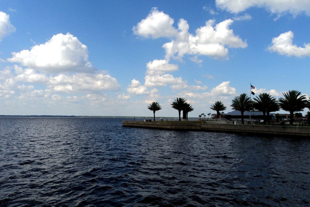
All weather facts are from the National Weather Service forecast office in Melbourne and the National Hurricane Center, checked Friday evening, November 20, 2026, at 8:00 p.m. EST: Flood Warning, St. Johns River near DeLand, issued 2:35 p.m. EST Fri (FL.W.0009); Flood Warning, St. Johns River near Sanford, issued 2:32 p.m. EST Fri (FL.W.0010); Flood Warning, St. Johns River above Lake Harney, issued 2:30 p.m. EST Fri (FL.W.0007), with the impacts list carried from that warning’s 9:04 a.m. issuance; Flood Warning, St. Johns River near Astor, issued 2:25 p.m. EST Fri (FL.W.0003); areal Flood Warning, northern Brevard and eastern Volusia counties, issued 6:10 p.m. EST Fri; NWS active-alerts list for Florida at the evening check (no Flood Watch and no alert at the Orlando point; the northeast Seminole areal warning absent after its 6:15 p.m. end); Area Forecast Discussion FXUS62 KMLB 202356, key messages and discussion issued 2:45 p.m. EST Fri; Orlando gridpoint forecast MLB 26,68, generated 7:55 p.m. EST Fri; NHC Tropical Weather Outlook ABNT20 KNHC 202310, 7:00 p.m. EST Fri, Forecaster Cangialosi. Scope notes: the St. Johns River near Cocoa 9w warning (Brevard County, major flooding, 18.7 feet at 1:15 p.m., forecast steady at 18.8 feet) and the coastal High Surf Advisory through Saturday 7:00 p.m. touch no coverage county and are not otherwise reported here. Featured image: file photograph of Lake Monroe at Sanford, by Gabriel Vanslette, CC BY via Wikimedia Commons, treated to the Citizen’s magazine grade under the fidelity lock and reused from this desk’s earlier storm coverage — it is a file photograph of the river system, not a picture of Friday’s flooding.
Orlando Citizen by email
The weekly edition, in your inbox
One email, every Saturday: the week’s edition of Orlando Citizen — the week’s stories, rankings and winners, gathered in one place. Free, and you can unsubscribe at any time.
Related Stories
Editor’s Picks
Spotted an error? Tell us — corrections · How we rank