Lake Underhill Road: The Line Through the Middle
One road divides Azalea Park's boundary logic, names its northern half and points at the lake on its western doorstep. Lake Underhill Road is the community's internal compass.
1 minute read
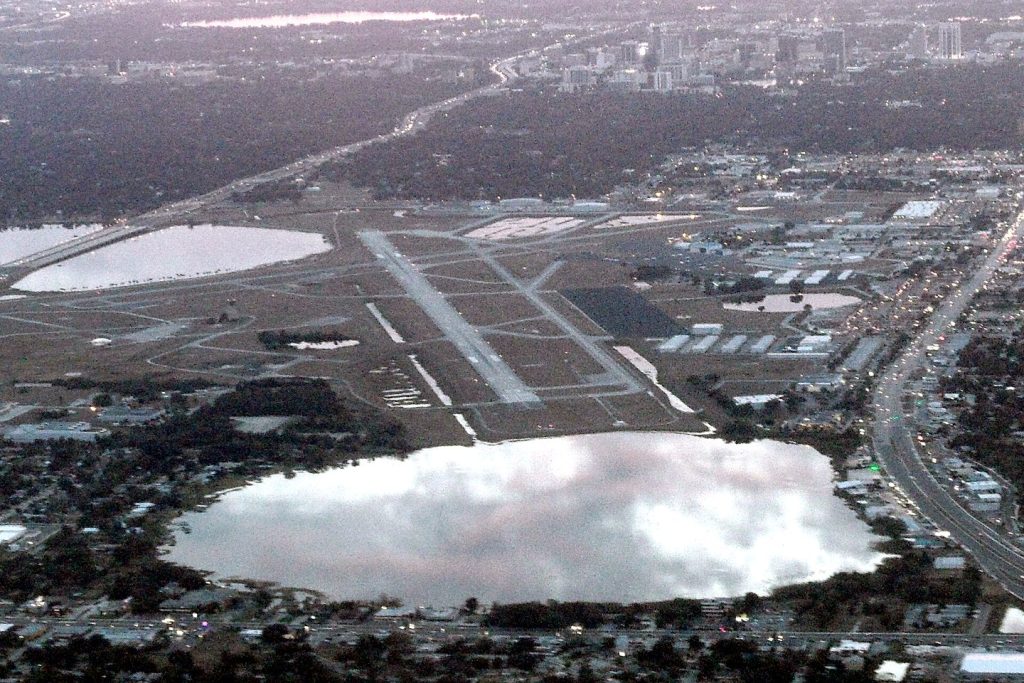
Ask for directions in Azalea Park and one road does most of the explaining: Lake Underhill Road, running east–west through the community’s middle, from Semoran Boulevard toward Chickasaw Trail and the SR-408. The census boundary itself keys off it — west of the road’s line, Azalea Park’s western edge is Semoran to the south and the Executive Airport and Lake Barton to the north — which makes Lake Underhill Road the closest thing the community has to a constitution.
The lake at the doorstep
The road is named for the lake at its western end, and honesty requires the label: Lake Underhill itself, and the City of Orlando’s Lake Underhill Park on its south shore — 8.8 acres with a boat ramp, a fitness-station trail and the Lake Underhill Path looping about 1.3 miles around the water — sit just west of Semoran, in Orlando proper, at Azalea Park’s doorstep rather than inside it. Residents use it as their own; this magazine labels it as the neighbour it is, the way this hub labels everything.
The working middle
Between the lake and the community, Lake Underhill Road carries the daily machinery — the Florida Highway Patrol’s Orlando station sits just off its Semoran junction — and the road’s corridor is where Azalea Park’s north and south halves meet. Every community has a line that organises it. Azalea Park’s happens to be named for a lake it almost touches, which is a very Orlando arrangement.
Orlando Citizen by email
The weekly edition, in your inbox
One email, every Saturday: the week’s edition of Orlando Citizen — the week’s stories, rankings and winners, gathered in one place. Free, and you can unsubscribe at any time.
Related Stories
Editor’s Picks
Spotted an error? Tell us — corrections · How we rank